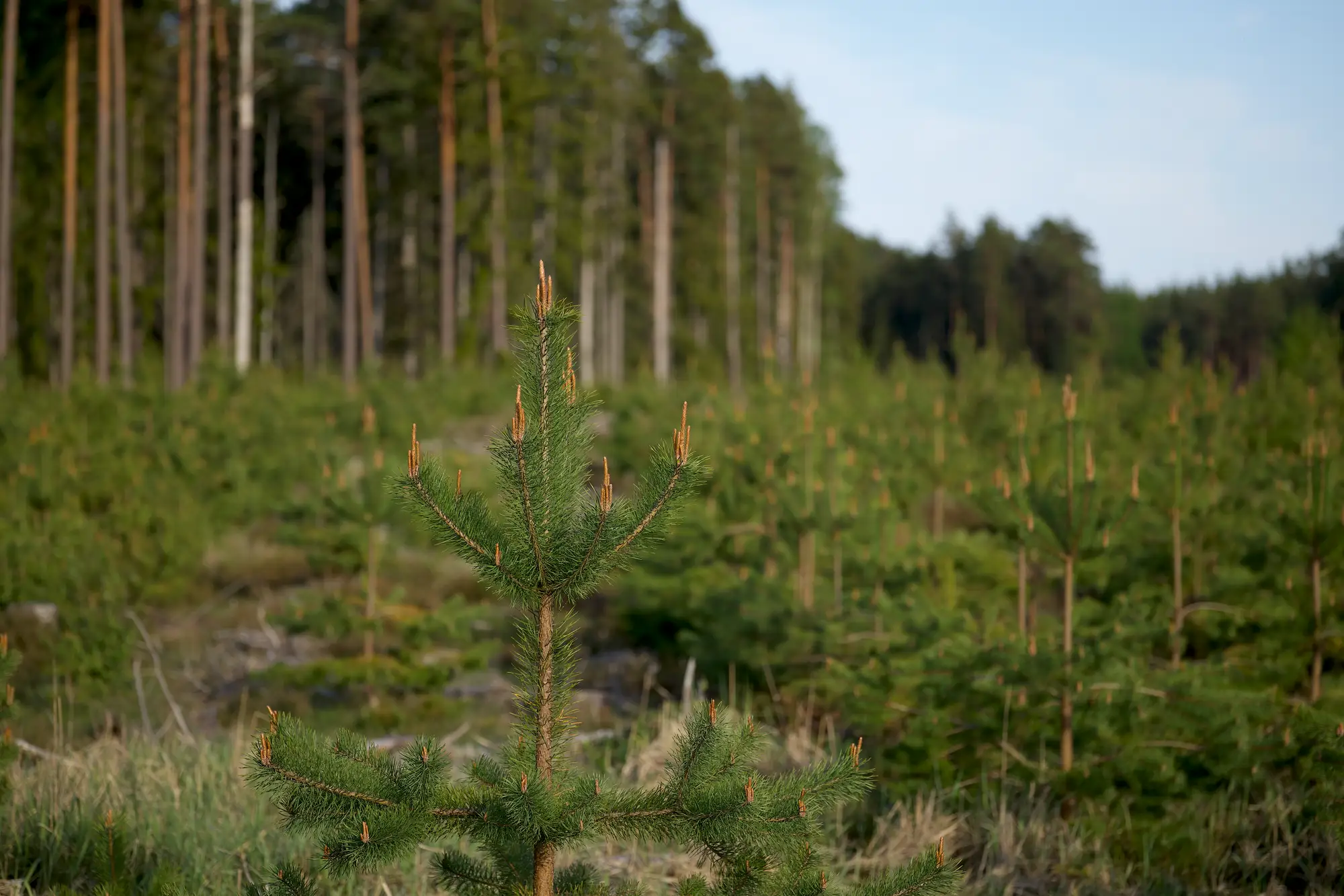
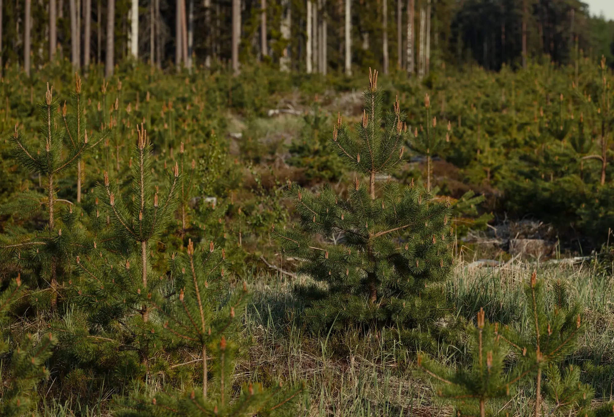
Planting and retention layerGeoPackage
Change detection against your baseline across the project boundary, so planted and retained cover can be shown as mapped area. It serves the "showing what was planted" and "showing it is still there" rows.
Ledger rowShowing what was planted · Showing it is still there next year